Greta Koch · 22 October 2026
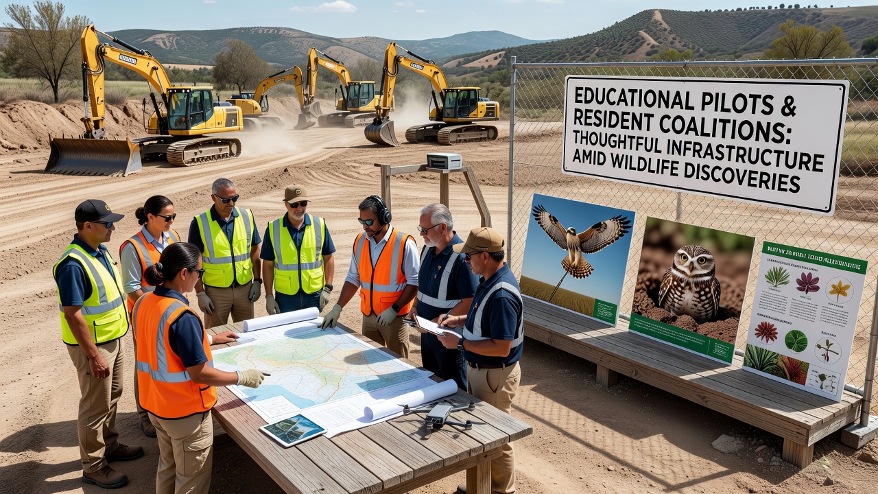
Educational Pilots and Resident Coalitions Forge Paths for Thoughtful Infrastructure Amid Wildlife Discoveries
Communities have turned to structured educational pilot programs and organized resident coalitions to guide infrastructure projects when unexpected wildlife findings emerge during site assessments, and these efforts have gained momentum as planning cycles advance toward October 2026 implementation dates in several districts. Data from regional environmental reports show that such collaborations integrate classroom research with public input sessions, allowing participants to map species movements and adjust construction timelines accordingly.
One study conducted by a university research team tracked how student-led surveys documented nesting patterns of migratory birds along proposed utility corridors, while coalition meetings compiled resident observations into formal recommendations submitted to planning boards. These combined records helped shift route alignments by several hundred meters in documented cases, reducing habitat fragmentation without delaying overall project milestones.
Educational Pilots Provide Hands-On Data Collection
Schools and colleges running pilot curricula have embedded field modules where participants collect baseline biodiversity metrics before ground-breaking occurs, and instructors coordinate with local agencies to verify findings against existing species inventories. Figures released by the U.S. Fish and Wildlife Service indicate that student-collected datasets now supplement official monitoring in at least twelve states, covering amphibians, small mammals, and pollinator populations.
Training sessions teach standardized protocols for camera trap placement and acoustic recording, after which teams upload results to shared platforms accessible to both municipal engineers and coalition representatives. This approach has produced layered maps that highlight seasonal migration corridors, enabling planners to schedule heavy equipment use outside peak activity windows.
Resident Coalitions Translate Findings Into Policy Input
Neighborhood associations have formed dedicated working groups that review pilot data during monthly forums, then draft position statements citing specific habitat requirements for species identified on project sites. Observers note that these statements often reference peer-reviewed literature and agency guidelines, giving them weight during public comment periods.
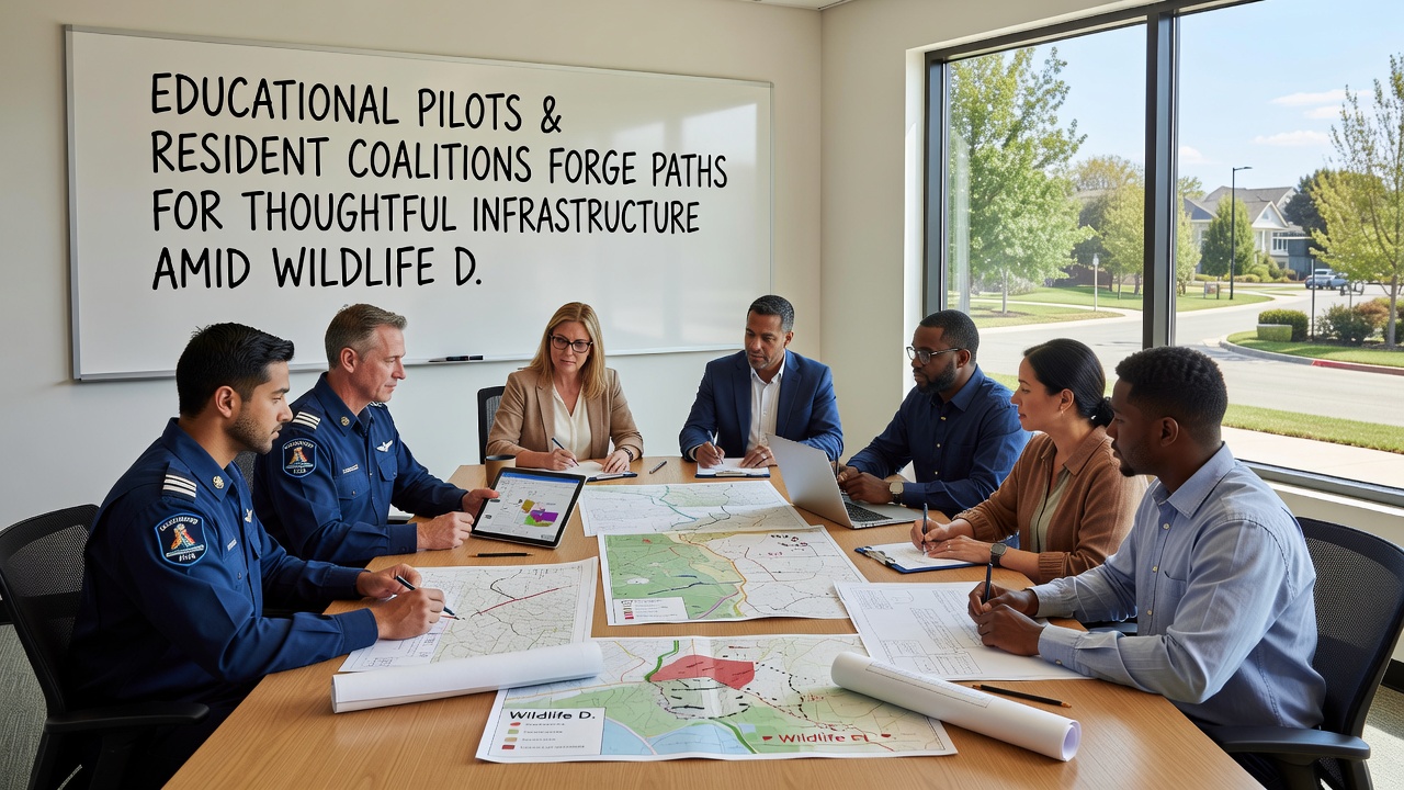
Coordination between coalitions and educational teams occurs through joint workshops where participants cross-reference student observations with historical records, producing updated risk assessments that account for both current sightings and projected climate-driven range shifts. In one documented instance, such combined analysis led to the installation of wildlife underpasses along a new access road, with monitoring scheduled to continue through 2028.
October 2026 Milestones Highlight Integrated Planning
Multiple jurisdictions have set October 2026 targets for finalizing infrastructure permits, and the presence of verified wildlife data has prompted inclusion of adaptive management clauses in contract language. These clauses require contractors to pause work and consult biologists if additional species appear during excavation phases.
Research from the Australian Department of Climate Change, Energy, the Environment and Water shows similar provisions in overseas projects have maintained construction schedules while protecting listed fauna, offering templates that local coalitions have adapted to fit regional regulations. Educational pilots supply the ongoing monitoring capacity needed to trigger those provisions effectively.
Case Examples Demonstrate Measurable Adjustments
In a midwestern county, a coalition reviewed pilot footage showing a previously unrecorded bat roost near a planned bridge replacement, leading engineers to incorporate seasonal lighting restrictions and roost exclusion timing into the design documents. The revised plan received approval three weeks ahead of the original review deadline.
Another project in a Pacific Northwest valley used acoustic data gathered by college students to identify an owl nesting area, prompting relocation of a stormwater retention basin fifty meters downslope. Post-construction surveys conducted by the same student cohort confirmed continued nesting activity the following season, according to interim reports filed with the county planning department.
Conclusion
Continued expansion of educational pilots alongside resident coalition participation supplies communities with detailed, location-specific information that informs infrastructure decisions when wildlife discoveries occur. Records maintained through these partnerships track both immediate adjustments and longer-term ecological outcomes, providing datasets that agencies and researchers can reference for future projects scheduled beyond 2026.